Erosion Online - New Zealand
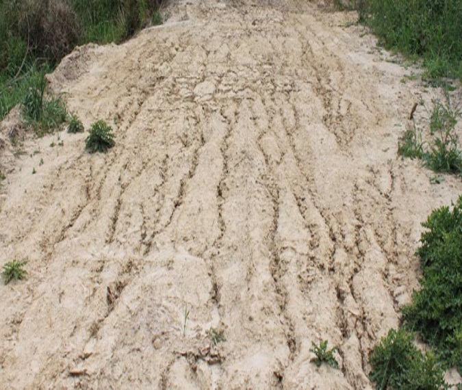
Background: Sediment originating from soil erosion is the number one polluter of waterways in both rural and urban areas. Although soil erosion is a natural phenomenon, accelerated erosion can occur when landuse and slopes are modified by human activities. Increased sediment in runoff affects waterways by reducing water clarity, disturbing invertebrate habitats, and transporting other pollutants attached to sediment (i.e. phosphorus, herbicides, and others). Loss of soil and its fertility at the source due to uncontrolled erosion is also of major concern to land owners.
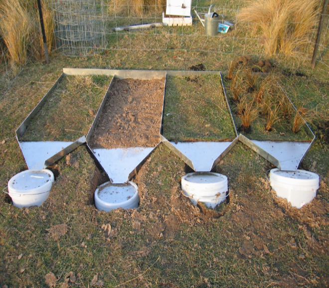
This Tool: Erosion Online provides a web-based tool to estimate soil erosion from hillslopes or construction sites. It is important to note that the model simulates surface erosion process only and does not model slope stability nor mass movements such as slips or landslides. This online tool was developed using the physically based Water Erosion Prediction Project (WEPP) model. Erosion is predicted based on CLIMATE (single storms or annually), VEGETATION COVER (bare soil, grassed, or other), TOPOGRAPHY (slope length, gradient, and type), and SOIL properties.
Select a region from map
(We currently only have data for Christchurch)


